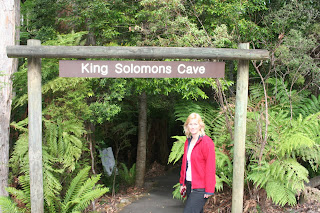
Called in at Deloraine and than had a honey ice cream at Mole Creek before heading up to the caves.

Inside King Soloman Cave.
Decided to head up to Devils Gullet.
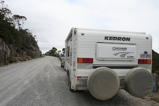
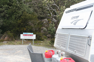
Stopped on the way up a good road but steep.

Devils Gullet lookout, a short 500 mt walk from the car park.
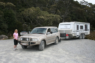
Another small turnaround area, getting pretty good at doing 3 point turns with van, notice the position of the wheels on the van. Helen was also getting pretty good at letting me know just how far back we could back the van when turning around.
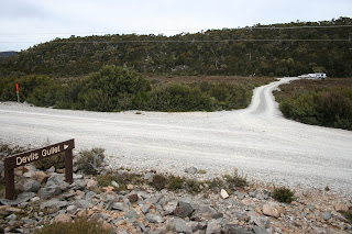
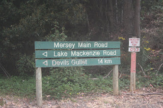
Turn off to the lookout and carpark.
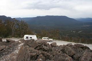
Climbed up the broken rock face to get a good view of the van and valley in the distance.
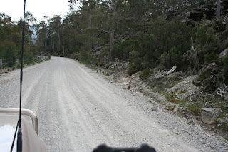
Heading down only about another 10 km to go nice and slow.

Called in to Cradle Mountain for what we hoped would be a two day stop, only to find no sites available so we booked in for 21st & 22nd and headed back to Strahan so we could do the Apt Railway.

Cradle Mountain development road on the way to Strahan.
 Called in at Deloraine and than had a honey ice cream at Mole Creek before heading up to the caves.
 Inside King Soloman Cave.
 Stopped on the way up a good road but steep.
 Devils Gullet lookout, a short 500 mt walk from the car park.
 Another small turnaround area, getting pretty good at doing 3 point turns with van, notice the position of the wheels on the van. Helen was also getting pretty good at letting me know just how far back we could back the van when turning around.
 Turn off to the lookout and carpark.
 Climbed up the broken rock face to get a good view of the van and valley in the distance.
 Heading down only about another 10 km to go nice and slow.
 Called in to Cradle Mountain for what we hoped would be a two day stop, only to find no sites available so we booked in for 21st & 22nd and headed back to Strahan so we could do the Apt Railway.
 Cradle Mountain development road on the way to Strahan.


 One of the lookouts on the walk up to the Wineglass Bay lookout, this view is looking back towards Coles Bay.
